
Enviro-D / Historical Imagery
See what was here before.
Historical aerial photography, maps and land-use records — indexed, organised and connected around property and time.
Understand how a site has changed, what occupied it previously and which historical records can help explain its environmental story.
Index / 01
The archive, organised as chapters.
Start with a collection. Open only the detail that matters.
Collection 01 / Selected
Aerial Photography
Historical aerial photography documenting land use, development and visible physical change through time.
Image 01 / Collection sample
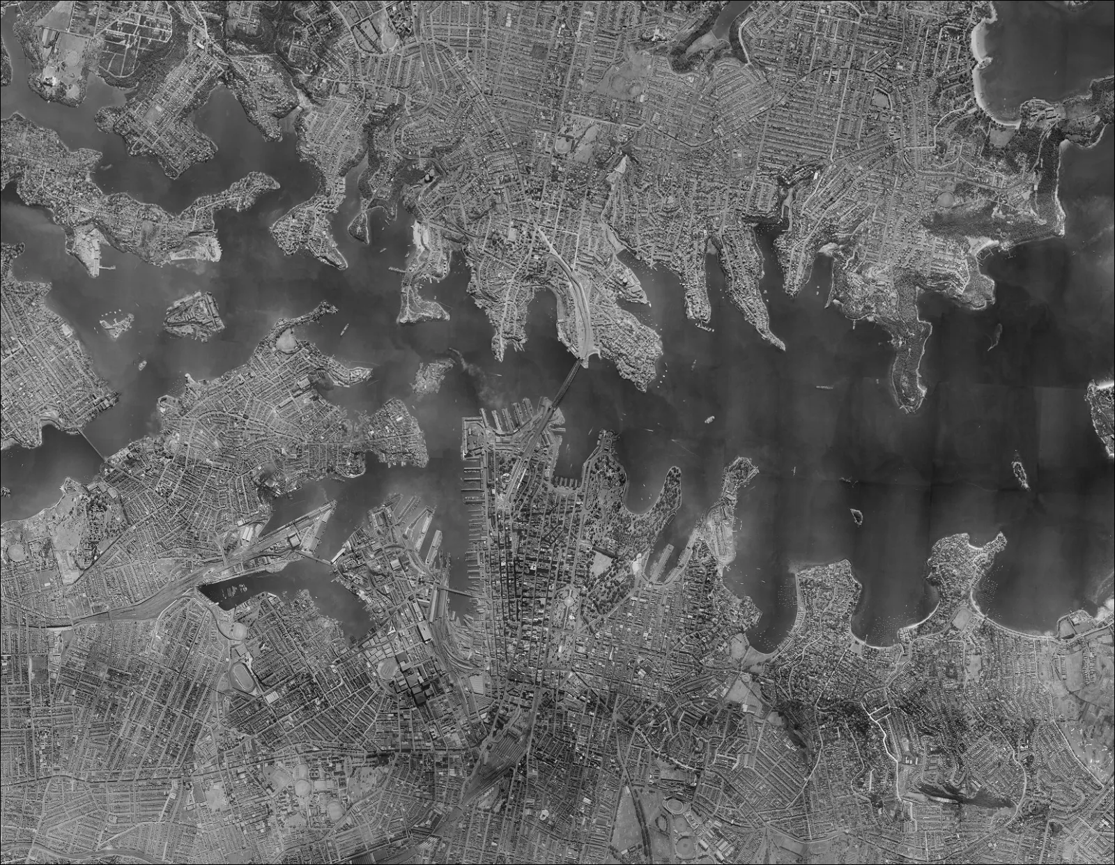
Select a historical record type to see its coverage, period and role in a property decision.
Historical Record Types
Inside the archive
A historical record type, properly explained.
- When did development or a change in visible land use first appear?
- When did tanks, structures, roads or disturbed areas appear or disappear?
- Does visible change suggest filling, excavation or activity requiring further investigation?
- How has surrounding land use changed?
Showing Vertical Aerial Photography in Aerial Photography.
Collection overview
- 01
Aerial Photography
Historical aerial photography documenting land use, development and visible physical change through time.
- 02
Orthophotography & Orthomosaics
Corrected aerial imagery and mosaics that support spatial comparison of site features and change.
- 03
Topographic & Survey Maps
Maps recording terrain, infrastructure, settlement and surveyed features at different periods.
- 04
Planning, Zoning & Development Maps
Historical planning schemes and mapped controls explaining intended and regulated land use at particular periods.
- 05
Cadastral, Parish & Land Tenure Maps
Historical maps and plans documenting parcels, tenure, subdivision and land administration.
- 06
Fire Insurance & Detailed Urban Maps
Detailed urban plans that may record building footprints, uses and selected construction or insurance-related annotations.
- 07
Flood, Drainage & Hazard Maps
Historical maps showing studied, mapped or recorded flood, drainage and hazard conditions.
- 08
Geological, Mining & Other Thematic Maps
Historical thematic maps documenting geology, resources, extractive activity and other mapped land-use themes.
Enviro-D / Historical Imagery